A20 Swanley bypass
Introduction
The photograph on this page of A20 Swanley bypass by Ian Capper as part of the Geograph project.
The Geograph project started in 2005 with the aim of publishing, organising and preserving representative images for every square kilometre of Great Britain, Ireland and the Isle of Man.

There are currently over 7.5m images from over 14,400 individuals and you can help contribute to the project by visiting https://www.geograph.org.uk
A20 Swanley bypass
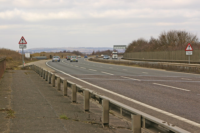
Image: © Ian Capper Taken: 10 Mar 2010
Photographed from where the road crosses the Southeastern main railway from London (Victoria) to the Medway towns and beyond. On the left is the private slip road to Bournewood Quarry. In the far distance is Shooters Hill.
Images are licensed for reuse under creativecommons.org/licenses/by-sa/2.0
Image Location
Latitude
51.392436
Longitude
0.162683