Icen Way - Dorchester
Introduction
The photograph on this page of Icen Way - Dorchester by Peter Fox as part of the Geograph project.
The Geograph project started in 2005 with the aim of publishing, organising and preserving representative images for every square kilometre of Great Britain, Ireland and the Isle of Man.

There are currently over 7.5m images from over 14,400 individuals and you can help contribute to the project by visiting https://www.geograph.org.uk
Icen Way - Dorchester
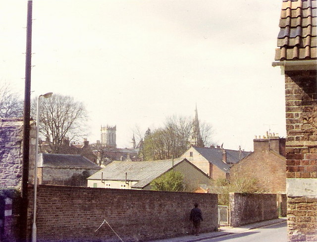
Image: © Peter Fox Taken: Unknown
This photograph was taken in the 1970's before the housing development took place on the land behind the wall. The roof of the old Red Cross hut can be seen and in the distance St Peter's and All Saints' churches.
Images are licensed for reuse under creativecommons.org/licenses/by-sa/2.0
Image Location
Latitude
50.713953
Longitude
-2.433646