Ramley Road, Upper Pennington, Lymington
Introduction
The photograph on this page of Ramley Road, Upper Pennington, Lymington by Peter Facey as part of the Geograph project.
The Geograph project started in 2005 with the aim of publishing, organising and preserving representative images for every square kilometre of Great Britain, Ireland and the Isle of Man.

There are currently over 7.5m images from over 14,400 individuals and you can help contribute to the project by visiting https://www.geograph.org.uk
Ramley Road, Upper Pennington, Lymington
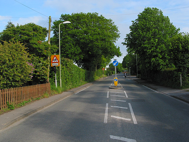
Image: © Peter Facey Taken: 25 May 2006
The road here is mainly residential with a few businesses here and there. It is traffic calmed.
Images are licensed for reuse under creativecommons.org/licenses/by-sa/2.0
Image Location
Latitude
50.760559
Longitude
-1.572199