Crosby Road, West Bridgford
Introduction
The photograph on this page of Crosby Road, West Bridgford by Kate Jewell as part of the Geograph project.
The Geograph project started in 2005 with the aim of publishing, organising and preserving representative images for every square kilometre of Great Britain, Ireland and the Isle of Man.

There are currently over 7.5m images from over 14,400 individuals and you can help contribute to the project by visiting https://www.geograph.org.uk
Crosby Road, West Bridgford
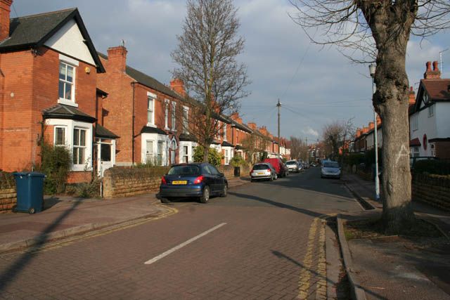
Image: © Kate Jewell Taken: 11 Mar 2010
From the southerly junction with Edward Road. Edward Road makes a sweeping curve between Radcliffe Road to the north and Ella Road and Albert Road to the south east, see the map. Crosby Road cuts across the semi-circle meeting with Edward Road at both ends.
Images are licensed for reuse under creativecommons.org/licenses/by-sa/2.0
Image Location
Latitude
52.935282
Longitude
-1.125858