Fletching Mill lock cut, Ouse Navigation
Introduction
The photograph on this page of Fletching Mill lock cut, Ouse Navigation by Robin Webster as part of the Geograph project.
The Geograph project started in 2005 with the aim of publishing, organising and preserving representative images for every square kilometre of Great Britain, Ireland and the Isle of Man.

There are currently over 7.5m images from over 14,400 individuals and you can help contribute to the project by visiting https://www.geograph.org.uk
Fletching Mill lock cut, Ouse Navigation
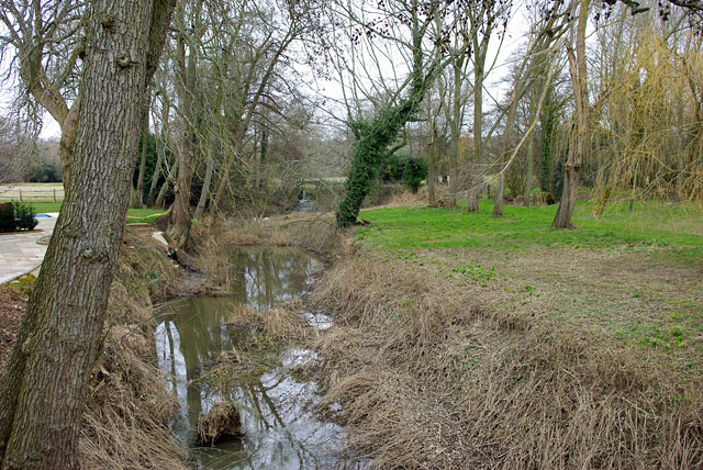
Image: © Robin Webster Taken: 11 Mar 2010
Disused as a navigation for 150 years, the cut acts as a flood relief channel now, taking the major flow when required. Looking upstream, the lock is distantly visible, but now converted into a weir.
Images are licensed for reuse under creativecommons.org/licenses/by-sa/2.0
Image Location
Latitude
50.988445
Longitude
0.026949