The Chapel Burn
Introduction
The photograph on this page of The Chapel Burn by Lairich Rig as part of the Geograph project.
The Geograph project started in 2005 with the aim of publishing, organising and preserving representative images for every square kilometre of Great Britain, Ireland and the Isle of Man.

There are currently over 7.5m images from over 14,400 individuals and you can help contribute to the project by visiting https://www.geograph.org.uk
The Chapel Burn
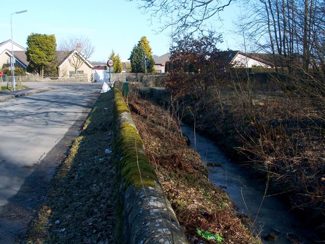
Image: © Lairich Rig Taken: 1 Mar 2010
As mentioned at Image, the burn flows parallel to Old Denny Road, from which it is separated by a wall; see that photo for a view along the street.
Images are licensed for reuse under creativecommons.org/licenses/by-sa/2.0
Image Location
Latitude
56.028443
Longitude
-3.84337