Perranporth: triangle between St Georges Hill and Beach Road
Introduction
The photograph on this page of Perranporth: triangle between St Georges Hill and Beach Road by David Gearing as part of the Geograph project.
The Geograph project started in 2005 with the aim of publishing, organising and preserving representative images for every square kilometre of Great Britain, Ireland and the Isle of Man.

There are currently over 7.5m images from over 14,400 individuals and you can help contribute to the project by visiting https://www.geograph.org.uk
Perranporth: triangle between St Georges Hill and Beach Road
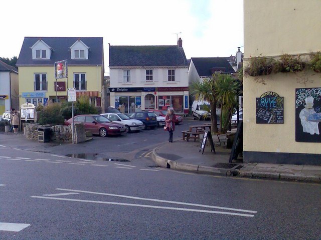
Image: © David Gearing Taken: 27 Nov 2009
Includes the (then) excellent 'The Cove', which described itself as 'More than just a cafe'.
Images are licensed for reuse under creativecommons.org/licenses/by-sa/2.0
Image Location


Leaflet Map data © OpenStreetMap
Latitude
50.344786
Longitude
-5.154749