Barn at Woolfall Hall Farm
Introduction
The photograph on this page of Barn at Woolfall Hall Farm by Mike Harris as part of the Geograph project.
The Geograph project started in 2005 with the aim of publishing, organising and preserving representative images for every square kilometre of Great Britain, Ireland and the Isle of Man.

There are currently over 7.5m images from over 14,400 individuals and you can help contribute to the project by visiting https://www.geograph.org.uk
Barn at Woolfall Hall Farm
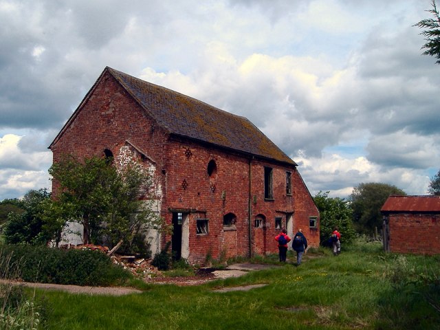
Image: © Mike Harris Taken: 24 May 2006
Barn at Woolfall Hall Farm - the barn was the more attractive image than the farm! The farm lies at the northern end of Buerton, near Buerton Moss and the boundaries with Hankelow and Hunsterson. The public footpath passes the old red-brick barn.
Images are licensed for reuse under creativecommons.org/licenses/by-sa/2.0
Image Location
Latitude
52.999057
Longitude
-2.468567