Vicarage Road, Springhill, Wolverhampton
Introduction
The photograph on this page of Vicarage Road, Springhill, Wolverhampton by Roger D Kidd as part of the Geograph project.
The Geograph project started in 2005 with the aim of publishing, organising and preserving representative images for every square kilometre of Great Britain, Ireland and the Isle of Man.

There are currently over 7.5m images from over 14,400 individuals and you can help contribute to the project by visiting https://www.geograph.org.uk
Vicarage Road, Springhill, Wolverhampton
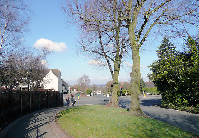
Image: © Roger D Kidd Taken: 9 Mar 2010
This is where Vicarage Road meets the dual carriageway of Penn Road (A449). Turn right to go to Wolverhampton (or Stafford); turn left for Kidderminster (also Stourbridge). The Hollybush public house is on the corner to the left of the image.
Images are licensed for reuse under creativecommons.org/licenses/by-sa/2.0
Image Location
Latitude
52.5577
Longitude
-2.164833