Looking along Burley Grove
Introduction
The photograph on this page of Looking along Burley Grove by Linda Bailey as part of the Geograph project.
The Geograph project started in 2005 with the aim of publishing, organising and preserving representative images for every square kilometre of Great Britain, Ireland and the Isle of Man.

There are currently over 7.5m images from over 14,400 individuals and you can help contribute to the project by visiting https://www.geograph.org.uk
Looking along Burley Grove
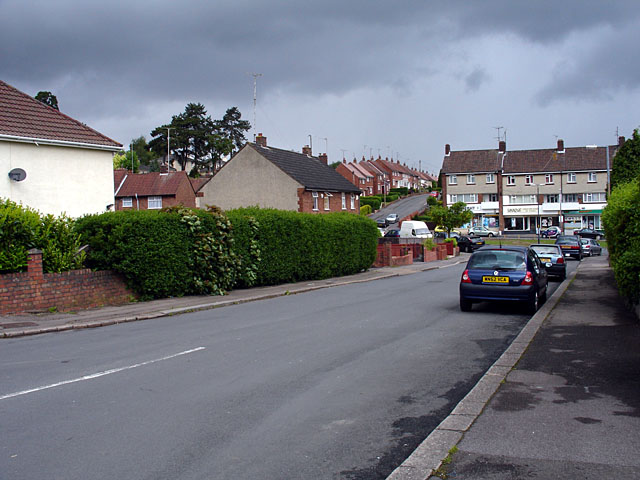
Image: © Linda Bailey Taken: 24 May 2006
Looking out of grid square ST6575 into ST6576, the grid line is near the white van. The road beyond (going up a slight hill) is Almond Way. This is an area which contains council/housing association housing.
Images are licensed for reuse under creativecommons.org/licenses/by-sa/2.0
Image Location
Latitude
51.48174
Longitude
-2.492302