Anerley: Anerley Road
Introduction
The photograph on this page of Anerley: Anerley Road by Dr Neil Clifton as part of the Geograph project.
The Geograph project started in 2005 with the aim of publishing, organising and preserving representative images for every square kilometre of Great Britain, Ireland and the Isle of Man.

There are currently over 7.5m images from over 14,400 individuals and you can help contribute to the project by visiting https://www.geograph.org.uk
Anerley: Anerley Road
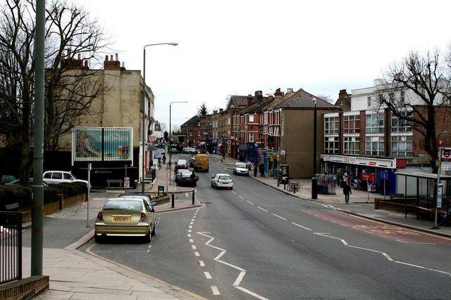
Image: © Dr Neil Clifton Taken: 9 Mar 2010
This unremarkable road, which is part of the A214, runs from an end-on junction with Anerley Hill at the 'Paxton Arms', for almost a mile southeast to its crossroads with the A213, where used to stand, but is no more, a large public house known as the 'Robin Hood', see Image This pub was a local point of reference, so that certain buses would display 'Anerley, Robin Hood' on their blinds. The origin of the district name Anerley is of some interest. Many, many years ago, before railways or even canals, a certain Scotsman built a farm here. He could see no other habitation from his farm, so he gave it the name 'Aneley' - Scottish for 'lonely'. Not so aneley now.
Images are licensed for reuse under creativecommons.org/licenses/by-sa/2.0
Image Location
Latitude
51.416759
Longitude
-0.072667