Buerton Farm
Introduction
The photograph on this page of Buerton Farm by Mike Harris as part of the Geograph project.
The Geograph project started in 2005 with the aim of publishing, organising and preserving representative images for every square kilometre of Great Britain, Ireland and the Isle of Man.

There are currently over 7.5m images from over 14,400 individuals and you can help contribute to the project by visiting https://www.geograph.org.uk
Buerton Farm
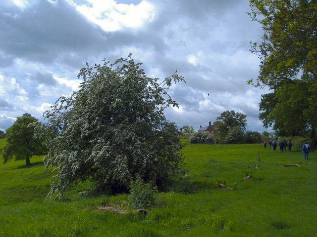
Image: © Mike Harris Taken: 24 May 2006
Buerton Farm across the fields from the public footpath to the north-east - a showery May day with hawthorn in bloom.
Images are licensed for reuse under creativecommons.org/licenses/by-sa/2.0
Image Location
Latitude
52.991
Longitude
-2.459988