Parish Church of All Souls, Heywood
Introduction
The photograph on this page of Parish Church of All Souls, Heywood by David Dixon as part of the Geograph project.
The Geograph project started in 2005 with the aim of publishing, organising and preserving representative images for every square kilometre of Great Britain, Ireland and the Isle of Man.

There are currently over 7.5m images from over 14,400 individuals and you can help contribute to the project by visiting https://www.geograph.org.uk
Parish Church of All Souls, Heywood
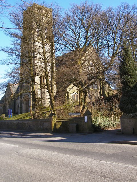
Image: © David Dixon Taken: 8 Mar 2010
Rochdale Road East, Heywood.
Images are licensed for reuse under creativecommons.org/licenses/by-sa/2.0
Image Location
Latitude
53.595463
Longitude
-2.203512