Scopwick village approach on the B1191
Introduction
The photograph on this page of Scopwick village approach on the B1191 by roger geach as part of the Geograph project.
The Geograph project started in 2005 with the aim of publishing, organising and preserving representative images for every square kilometre of Great Britain, Ireland and the Isle of Man.

There are currently over 7.5m images from over 14,400 individuals and you can help contribute to the project by visiting https://www.geograph.org.uk
Scopwick village approach on the B1191
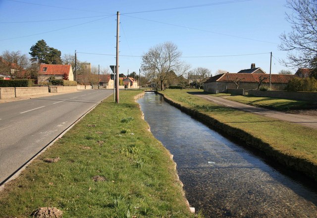
Image: © roger geach Taken: 7 Mar 2010
The stream runs alongside the road here for some distance. The church tower can be seen on the skyline.
Images are licensed for reuse under creativecommons.org/licenses/by-sa/2.0
Image Location


Leaflet Map data © OpenStreetMap
Latitude
53.109024
Longitude
-0.40422