Old Town Field
Introduction
The photograph on this page of Old Town Field by Simon Carey as part of the Geograph project.
The Geograph project started in 2005 with the aim of publishing, organising and preserving representative images for every square kilometre of Great Britain, Ireland and the Isle of Man.

There are currently over 7.5m images from over 14,400 individuals and you can help contribute to the project by visiting https://www.geograph.org.uk
Old Town Field
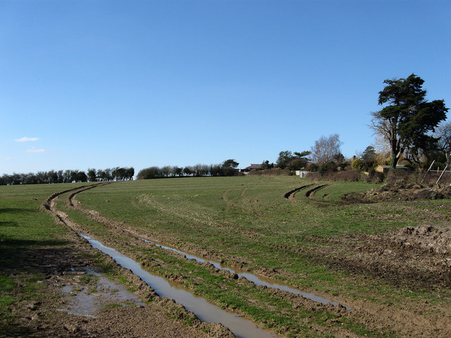
Image: © Simon Carey Taken: 7 Mar 2010
The name of the field according to the 1843 tithe map. The name indicates that the field was near or the site of the former settlement of Barnhorn. The manor of the same name had its boundaries drawn out by a charter of 772 and by the medieval period had fallen into ownership of the monks of Battle Abbey. It was they who began reclamation of the marshes to the south and built the settlement to provide housing for those who needed to build and maintain the dykes and sea walls as well as those who were to farm it. The settlement itself lasted until the 14th century when it disappeared probably a mixture of the Black Death, coastal storms and a change in agriculture away from cereal production to sheep farming that was far less labour intensive. Only the name remains as a reminder.
Images are licensed for reuse under creativecommons.org/licenses/by-sa/2.0
Image Location


Leaflet Map data © OpenStreetMap
Latitude
50.843479
Longitude
0.418263