Footpath along eastern edge of Claremont, Malpas, Newport
Introduction
The photograph on this page of Footpath along eastern edge of Claremont, Malpas, Newport by Jaggery as part of the Geograph project.
The Geograph project started in 2005 with the aim of publishing, organising and preserving representative images for every square kilometre of Great Britain, Ireland and the Isle of Man.

There are currently over 7.5m images from over 14,400 individuals and you can help contribute to the project by visiting https://www.geograph.org.uk
Footpath along eastern edge of Claremont, Malpas, Newport
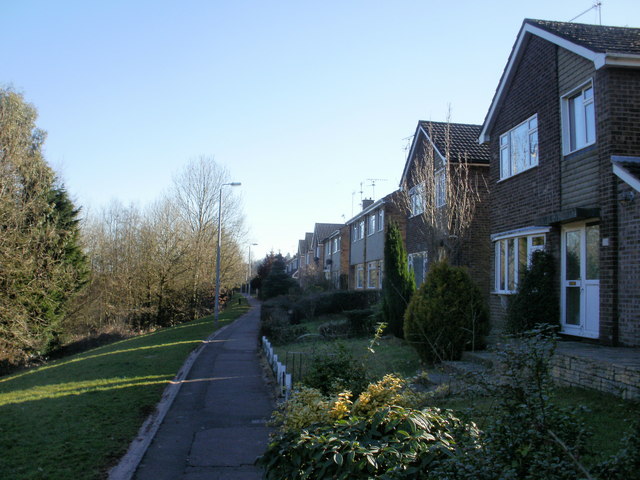
Image: © Jaggery Taken: 8 Mar 2010
Claremont, and its sister housing estate Pilton Vale, segregate pedestrians from traffic as much as possible. This view is of the footpath alongside houses on the eastern edge of Claremont. On the other side of the footpath, the land drops away steeply to a small area of woods and a stream, then rises on the other side of the stream towards the edge of the Malpas Bypass (A4042).
Images are licensed for reuse under creativecommons.org/licenses/by-sa/2.0
Image Location
Latitude
51.618939
Longitude
-3.002362