Lower Cooding Field
Introduction
The photograph on this page of Lower Cooding Field by Simon Carey as part of the Geograph project.
The Geograph project started in 2005 with the aim of publishing, organising and preserving representative images for every square kilometre of Great Britain, Ireland and the Isle of Man.

There are currently over 7.5m images from over 14,400 individuals and you can help contribute to the project by visiting https://www.geograph.org.uk
Lower Cooding Field
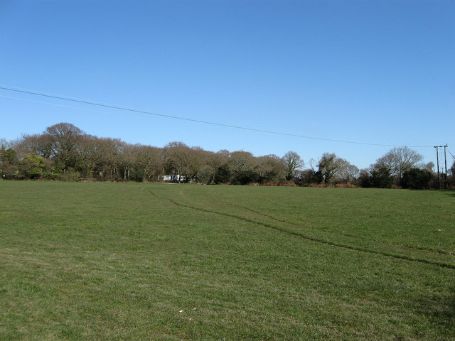
Image: © Simon Carey Taken: 7 Mar 2010
The name of the field according to the 1843 tithe map. Cooding is the original name of the nearby settlement which seems to have changed to its current name during the 18th and 19th centuries.
Images are licensed for reuse under creativecommons.org/licenses/by-sa/2.0
Image Location
Latitude
50.840666
Longitude
0.4238