Rixey Park Corner
Introduction
The photograph on this page of Rixey Park Corner by Robin Stott as part of the Geograph project.
The Geograph project started in 2005 with the aim of publishing, organising and preserving representative images for every square kilometre of Great Britain, Ireland and the Isle of Man.

There are currently over 7.5m images from over 14,400 individuals and you can help contribute to the project by visiting https://www.geograph.org.uk
Rixey Park Corner
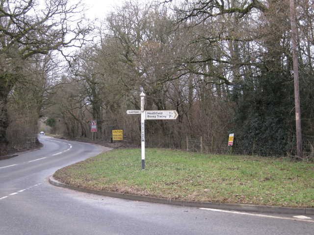
Image: © Robin Stott Taken: 21 Feb 2010
Chudleigh Road B3193 emerges from the claypits, left. Clay Lane joins from the right. Rightly or wrongly I've opted for the name Rixey Park. Other variants in use are Rixeypark, Rixy Park (as here on the signpost), Rixypark and Rixpark (OS). Local expert, please adjudicate!
Images are licensed for reuse under creativecommons.org/licenses/by-sa/2.0
Image Location
Latitude
50.576924
Longitude
-3.62269