Borgard Road, Woolwich
Introduction
The photograph on this page of Borgard Road, Woolwich by Stephen Craven as part of the Geograph project.
The Geograph project started in 2005 with the aim of publishing, organising and preserving representative images for every square kilometre of Great Britain, Ireland and the Isle of Man.

There are currently over 7.5m images from over 14,400 individuals and you can help contribute to the project by visiting https://www.geograph.org.uk
Borgard Road, Woolwich
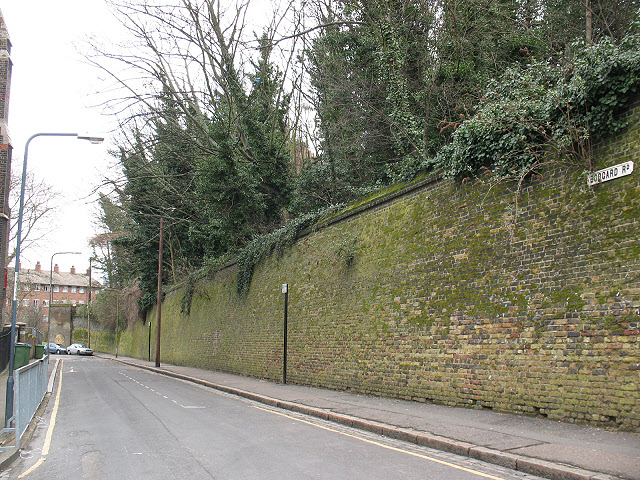
Image: © Stephen Craven Taken: 4 Mar 2010
The high retaining wall on the right of the photo marks the northern boundary of the former Red Barracks site (now occupied by housing). To the left (north) of the road are St Michael's church and Cardwell School's playground.
Images are licensed for reuse under creativecommons.org/licenses/by-sa/2.0
Image Location
Latitude
51.490414
Longitude
0.054178