Coventry, Top Green
Introduction
The photograph on this page of Coventry, Top Green by Mike Faherty as part of the Geograph project.
The Geograph project started in 2005 with the aim of publishing, organising and preserving representative images for every square kilometre of Great Britain, Ireland and the Isle of Man.

There are currently over 7.5m images from over 14,400 individuals and you can help contribute to the project by visiting https://www.geograph.org.uk
Coventry, Top Green
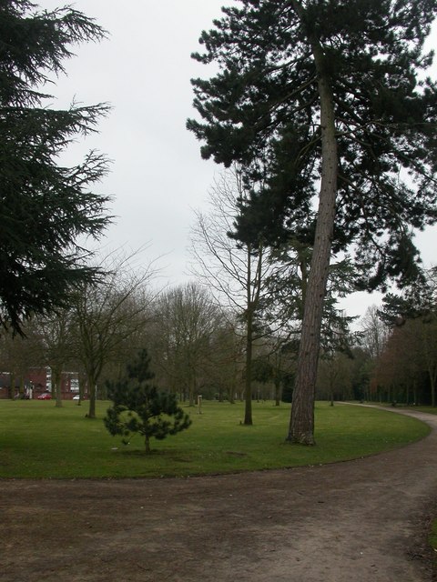
Image: © Mike Faherty Taken: 6 Mar 2010
A strip of grass and trees on Warwick Road, South of Image, mistakenly and confusingly signed by the council as "Top Green Park"; error pointed out by a keen-eyed local!
Images are licensed for reuse under creativecommons.org/licenses/by-sa/2.0
Image Location


Leaflet Map data © OpenStreetMap
Latitude
52.398761
Longitude
-1.517597