Footpath from Glenashdale Falls (Eas a? Chrannaig)
Introduction
The photograph on this page of Footpath from Glenashdale Falls (Eas a? Chrannaig) by Alan Walker as part of the Geograph project.
The Geograph project started in 2005 with the aim of publishing, organising and preserving representative images for every square kilometre of Great Britain, Ireland and the Isle of Man.

There are currently over 7.5m images from over 14,400 individuals and you can help contribute to the project by visiting https://www.geograph.org.uk
Footpath from Glenashdale Falls (Eas a? Chrannaig)
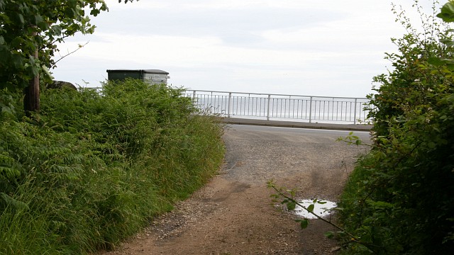
Image: © Alan Walker Taken: 27 Jun 2008
The photograph shows the end (or depending upon the direction you take, the beginning) of the footpath along the Glenashdale Burn between Ashdale Bridge http://www.geograph.org.uk/photo/1736879 and the Glenashdale Falls http://www.geograph.org.uk/photo/1740204 . Just behind the viewpoint is a side entrance to the Image For a photograph nearer the falls (behind the viewpoint), click here: http://www.geograph.org.uk/photo/1738767 .
Images are licensed for reuse under creativecommons.org/licenses/by-sa/2.0
Image Location
Latitude
55.482103
Longitude
-5.092859