The far end of Lundy Drive, St Julians, Newport
Introduction
The photograph on this page of The far end of Lundy Drive, St Julians, Newport by Jaggery as part of the Geograph project.
The Geograph project started in 2005 with the aim of publishing, organising and preserving representative images for every square kilometre of Great Britain, Ireland and the Isle of Man.

There are currently over 7.5m images from over 14,400 individuals and you can help contribute to the project by visiting https://www.geograph.org.uk
The far end of Lundy Drive, St Julians, Newport
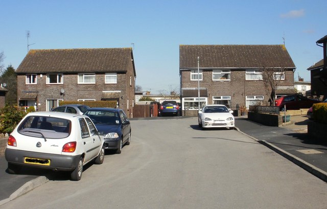
Image: © Jaggery Taken: 4 Mar 2010
Lundy Drive is the longest road in an area named after British islands. The other 'island' roads all connect with it. The other end of Lundy Drive connects with St Julians Road.
Images are licensed for reuse under creativecommons.org/licenses/by-sa/2.0
Image Location
Latitude
51.595844
Longitude
-2.968649