Ramsey Walk Close, St Julians, Newport
Introduction
The photograph on this page of Ramsey Walk Close, St Julians, Newport by Jaggery as part of the Geograph project.
The Geograph project started in 2005 with the aim of publishing, organising and preserving representative images for every square kilometre of Great Britain, Ireland and the Isle of Man.

There are currently over 7.5m images from over 14,400 individuals and you can help contribute to the project by visiting https://www.geograph.org.uk
Ramsey Walk Close, St Julians, Newport
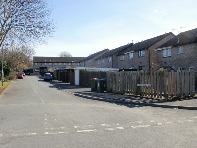
Image: © Jaggery Taken: 4 Mar 2010
Houses on the south side of Ramsey Walk Close, viewed from the corner of Caldy Close. Shown on the online Ordnance Survey map as a part of Caldy Close, but the street sign in the lower right of the photo disagrees.
Images are licensed for reuse under creativecommons.org/licenses/by-sa/2.0
Image Location
Latitude
51.595832
Longitude
-2.970092