Footpath leading down to the Bridgnorth Road
Introduction
The photograph on this page of Footpath leading down to the Bridgnorth Road by Richard Law as part of the Geograph project.
The Geograph project started in 2005 with the aim of publishing, organising and preserving representative images for every square kilometre of Great Britain, Ireland and the Isle of Man.

There are currently over 7.5m images from over 14,400 individuals and you can help contribute to the project by visiting https://www.geograph.org.uk
Footpath leading down to the Bridgnorth Road
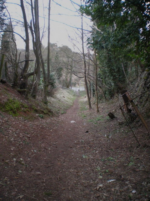
Image: © Richard Law Taken: 5 Mar 2010
This appears to be a rare piece of 'sunken lane', left behind during the urbanisation of this part of western Wolverhampton.
Images are licensed for reuse under creativecommons.org/licenses/by-sa/2.0
Image Location
Latitude
52.585242
Longitude
-2.185039