Bournemouth: view down Bath Hill
Introduction
The photograph on this page of Bournemouth: view down Bath Hill by Chris Downer as part of the Geograph project.
The Geograph project started in 2005 with the aim of publishing, organising and preserving representative images for every square kilometre of Great Britain, Ireland and the Isle of Man.

There are currently over 7.5m images from over 14,400 individuals and you can help contribute to the project by visiting https://www.geograph.org.uk
Bournemouth: view down Bath Hill
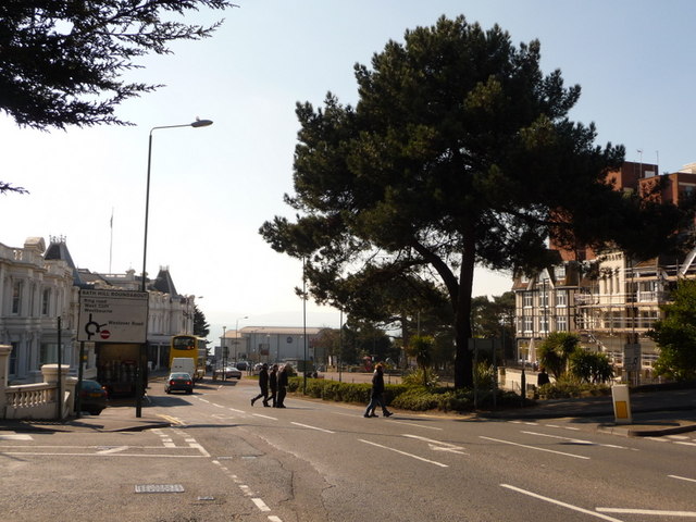
Image: © Chris Downer Taken: 5 Mar 2010
Bath Hill does not appear in the index of any atlases; this is Bath Road – but this steep section is generally known as Bath Hill nonetheless. Beyond a large tree on our right and the Royal Bath Hotel on our left, we see the rear of Image and, just above it, the hazy outline of the Purbeck Hills.
Images are licensed for reuse under creativecommons.org/licenses/by-sa/2.0
Image Location
Latitude
50.718198
Longitude
-1.87232