Waterway behind the houses
Introduction
The photograph on this page of Waterway behind the houses by Robin Webster as part of the Geograph project.
The Geograph project started in 2005 with the aim of publishing, organising and preserving representative images for every square kilometre of Great Britain, Ireland and the Isle of Man.

There are currently over 7.5m images from over 14,400 individuals and you can help contribute to the project by visiting https://www.geograph.org.uk
Waterway behind the houses
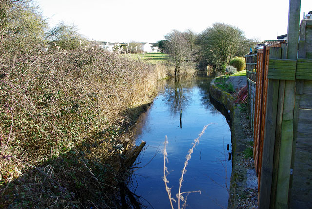
Image: © Robin Webster Taken: 4 Mar 2010
One of many waterways in this low-lying area. Seen from the Old Salts Farm Road bridge.
Images are licensed for reuse under creativecommons.org/licenses/by-sa/2.0
Image Location
Latitude
50.825915
Longitude
-0.310798