Annington Road
Introduction
The photograph on this page of Annington Road by Robin Webster as part of the Geograph project.
The Geograph project started in 2005 with the aim of publishing, organising and preserving representative images for every square kilometre of Great Britain, Ireland and the Isle of Man.

There are currently over 7.5m images from over 14,400 individuals and you can help contribute to the project by visiting https://www.geograph.org.uk
Annington Road
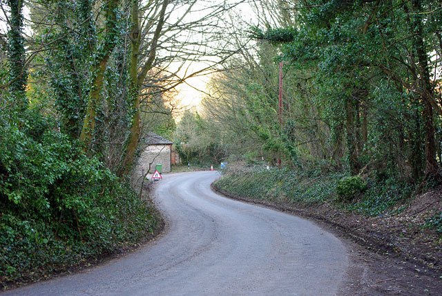
Image: © Robin Webster Taken: 4 Mar 2010
The lane along the west side of the Adur valley doesn't lack in bends. Here called Annington Road, further down it becomes Coombes Road.
Images are licensed for reuse under creativecommons.org/licenses/by-sa/2.0
Image Location
Latitude
50.873189
Longitude
-0.314917