Pitmore Lane north of its junction with Kings Lane
Introduction
The photograph on this page of Pitmore Lane north of its junction with Kings Lane by Peter Facey as part of the Geograph project.
The Geograph project started in 2005 with the aim of publishing, organising and preserving representative images for every square kilometre of Great Britain, Ireland and the Isle of Man.

There are currently over 7.5m images from over 14,400 individuals and you can help contribute to the project by visiting https://www.geograph.org.uk
Pitmore Lane north of its junction with Kings Lane
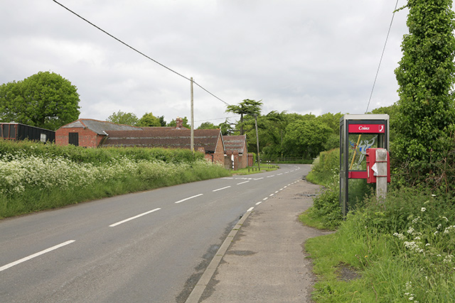
Image: © Peter Facey Taken: 22 May 2006
Mount Pleasant Lane joins Pitmore Lane just before the bend opposite the Farm buildings.
Images are licensed for reuse under creativecommons.org/licenses/by-sa/2.0
Image Location
Latitude
50.779037
Longitude
-1.584371