Cycle routes, Blyth
Introduction
The photograph on this page of Cycle routes, Blyth by Oliver Dixon as part of the Geograph project.
The Geograph project started in 2005 with the aim of publishing, organising and preserving representative images for every square kilometre of Great Britain, Ireland and the Isle of Man.

There are currently over 7.5m images from over 14,400 individuals and you can help contribute to the project by visiting https://www.geograph.org.uk
Cycle routes, Blyth
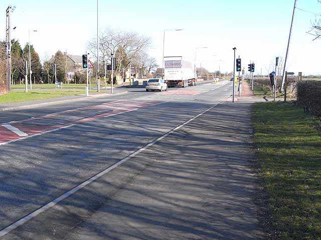
Image: © Oliver Dixon Taken: 2 Mar 2010
At this point the Cramlington to South Beach cycleway meets National Cycle Network route 1 (Coast and Castles route). The National Route here crosses the main road at the lights and continues to the left through the suburbs of Blyth. The National Route is also part of the European Cycle Network North Sea Route.
Images are licensed for reuse under creativecommons.org/licenses/by-sa/2.0
Image Location
Latitude
55.105446
Longitude
-1.517856