The Dingle, Llangefni
Introduction
The photograph on this page of The Dingle, Llangefni by Eirian Evans as part of the Geograph project.
The Geograph project started in 2005 with the aim of publishing, organising and preserving representative images for every square kilometre of Great Britain, Ireland and the Isle of Man.

There are currently over 7.5m images from over 14,400 individuals and you can help contribute to the project by visiting https://www.geograph.org.uk
The Dingle, Llangefni
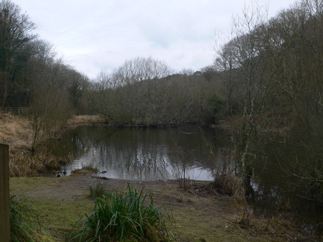
Image: © Eirian Evans Taken: 26 Feb 2010
A pond in the Dingle, a local Nature reserve in Llangefni. The reserve is a 10 hectare wooded valley, rich in wildlife and history. It has recently been enhanced through community involvement.
Images are licensed for reuse under creativecommons.org/licenses/by-sa/2.0
Image Location
Latitude
53.257546
Longitude
-4.317553