Budd's Green
Introduction
The photograph on this page of Budd's Green by Derek Harper as part of the Geograph project.
The Geograph project started in 2005 with the aim of publishing, organising and preserving representative images for every square kilometre of Great Britain, Ireland and the Isle of Man.

There are currently over 7.5m images from over 14,400 individuals and you can help contribute to the project by visiting https://www.geograph.org.uk
Budd's Green
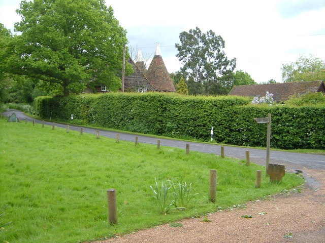
Image: © Derek Harper Taken: 20 May 2006
Budd's Oast is behind the hedge. The finger post indicates the footpath to Underriver.
Images are licensed for reuse under creativecommons.org/licenses/by-sa/2.0
Image Location


Leaflet Map data © OpenStreetMap
Latitude
51.246276
Longitude
0.258071