Former seawall, Carrickfergus
Introduction
The photograph on this page of Former seawall, Carrickfergus by Albert Bridge as part of the Geograph project.
The Geograph project started in 2005 with the aim of publishing, organising and preserving representative images for every square kilometre of Great Britain, Ireland and the Isle of Man.

There are currently over 7.5m images from over 14,400 individuals and you can help contribute to the project by visiting https://www.geograph.org.uk
Former seawall, Carrickfergus
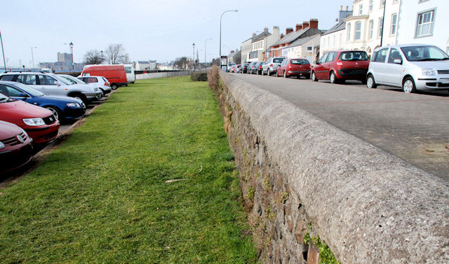
Image: © Albert Bridge Taken: 3 Mar 2010
See Image The old sea wall at the Scotch Quarter. Note the difference in level between the car park (left, built on reclaimed land) and the street (from the time of the Plantation).
Images are licensed for reuse under creativecommons.org/licenses/by-sa/2.0
Image Location
Latitude
54.718183
Longitude
-5.798353