Track in Penhydd forestry area
Introduction
The photograph on this page of Track in Penhydd forestry area by eswales as part of the Geograph project.
The Geograph project started in 2005 with the aim of publishing, organising and preserving representative images for every square kilometre of Great Britain, Ireland and the Isle of Man.

There are currently over 7.5m images from over 14,400 individuals and you can help contribute to the project by visiting https://www.geograph.org.uk
Track in Penhydd forestry area
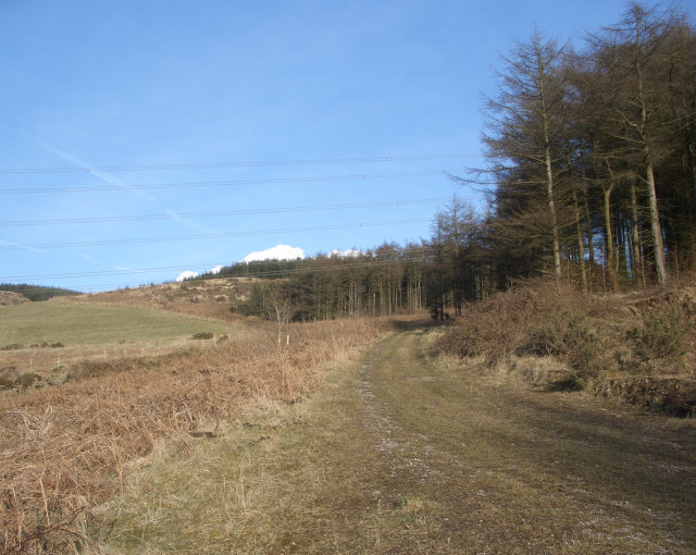
Image: © eswales Taken: 1 Mar 2010
A photograph taken at a spot by the very short stretch of forestry track in the south east corner of the grid square. The picture shows some of the Penhydd forestry area at Afan Forest Park.
Images are licensed for reuse under creativecommons.org/licenses/by-sa/2.0
Image Location
Latitude
51.623644
Longitude
-3.720732