Cycleway, Cramlington
Introduction
The photograph on this page of Cycleway, Cramlington by Oliver Dixon as part of the Geograph project.
The Geograph project started in 2005 with the aim of publishing, organising and preserving representative images for every square kilometre of Great Britain, Ireland and the Isle of Man.

There are currently over 7.5m images from over 14,400 individuals and you can help contribute to the project by visiting https://www.geograph.org.uk
Cycleway, Cramlington
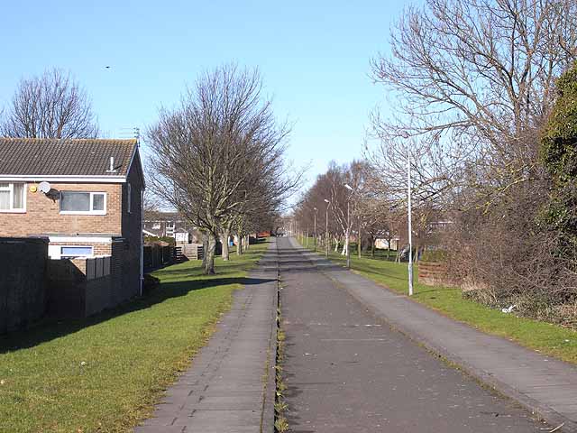
Image: © Oliver Dixon Taken: 2 Mar 2010
A number of cycleways have been included into the new town of Cramlington. This one, immediately north of Westerlink, follows the line of an old wagonway to a colliery. East of the B1505, a path through to Seghill Image follows the line of the same wagonway.
Images are licensed for reuse under creativecommons.org/licenses/by-sa/2.0
Image Location
Latitude
55.07259
Longitude
-1.574943