Open space, Cramlington
Introduction
The photograph on this page of Open space, Cramlington by Oliver Dixon as part of the Geograph project.
The Geograph project started in 2005 with the aim of publishing, organising and preserving representative images for every square kilometre of Great Britain, Ireland and the Isle of Man.

There are currently over 7.5m images from over 14,400 individuals and you can help contribute to the project by visiting https://www.geograph.org.uk
Open space, Cramlington
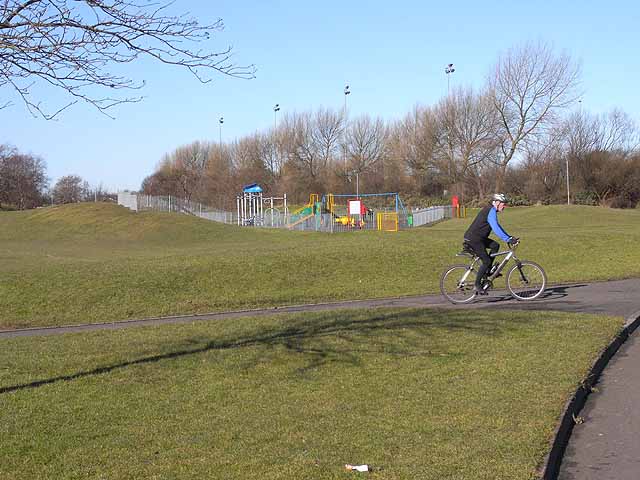
Image: © Oliver Dixon Taken: 2 Mar 2010
The new town of Cramlington incorporates many large areas of open public space, including this one to the south of Northumbrian Road. A play area can be seen in the background. A number of cycleways have also been included in the plan of the town.
Images are licensed for reuse under creativecommons.org/licenses/by-sa/2.0
Image Location
Latitude
55.07667
Longitude
-1.585706