Carrickfergus Gospel Hall
Introduction
The photograph on this page of Carrickfergus Gospel Hall by Albert Bridge as part of the Geograph project.
The Geograph project started in 2005 with the aim of publishing, organising and preserving representative images for every square kilometre of Great Britain, Ireland and the Isle of Man.

There are currently over 7.5m images from over 14,400 individuals and you can help contribute to the project by visiting https://www.geograph.org.uk
Carrickfergus Gospel Hall
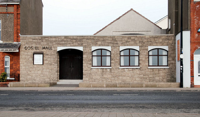
Image: © Albert Bridge Taken: 3 Mar 2010
A modest building at the Larne end of the Scotch Quarter. There is an outreach centre, at the back, facing Taylor’s Avenue.
Images are licensed for reuse under creativecommons.org/licenses/by-sa/2.0
Image Location
Latitude
54.718531
Longitude
-5.797713