Bridleway from Newth's Lane, near Purton Stoke
Introduction
The photograph on this page of Bridleway from Newth's Lane, near Purton Stoke by Brian Robert Marshall as part of the Geograph project.
The Geograph project started in 2005 with the aim of publishing, organising and preserving representative images for every square kilometre of Great Britain, Ireland and the Isle of Man.

There are currently over 7.5m images from over 14,400 individuals and you can help contribute to the project by visiting https://www.geograph.org.uk
Bridleway from Newth's Lane, near Purton Stoke
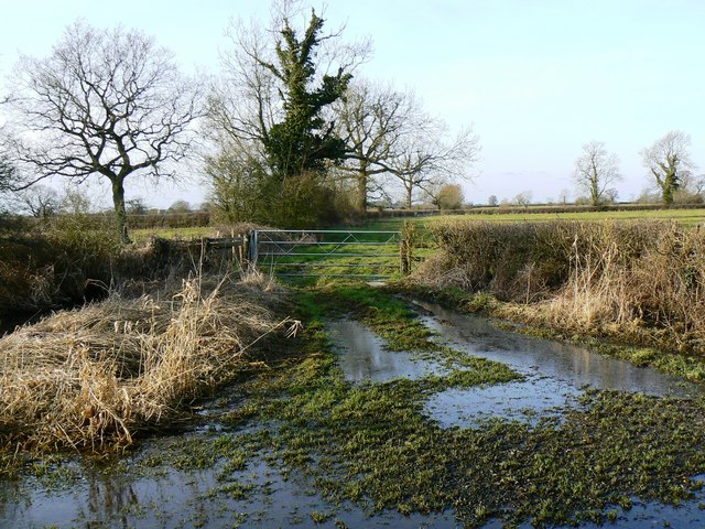
Image: © Brian Robert Marshall Taken: 2 Mar 2010
The bridleway leads from the viewpoint to the north for about 450 metres then stops. The area is quite flat and low-lying, barely two metres above the Thames at Cricklade three kilometres north of here, so is invariably rather wet at this time of year.
Images are licensed for reuse under creativecommons.org/licenses/by-sa/2.0
Image Location
Latitude
51.615405
Longitude
-1.860725