Bridleway to Malmesbury Road from Chelworth Lane, near Cricklade
Introduction
The photograph on this page of Bridleway to Malmesbury Road from Chelworth Lane, near Cricklade by Brian Robert Marshall as part of the Geograph project.
The Geograph project started in 2005 with the aim of publishing, organising and preserving representative images for every square kilometre of Great Britain, Ireland and the Isle of Man.

There are currently over 7.5m images from over 14,400 individuals and you can help contribute to the project by visiting https://www.geograph.org.uk
Bridleway to Malmesbury Road from Chelworth Lane, near Cricklade
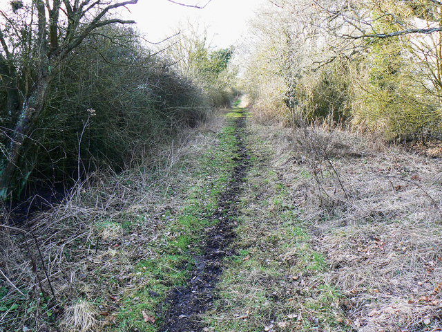
Image: © Brian Robert Marshall Taken: 2 Mar 2010
The bridleway isn't very long at about 570 metres. It connects Chelworth Lane to the B4040 out of sight in the direction of view.
Images are licensed for reuse under creativecommons.org/licenses/by-sa/2.0
Image Location
Latitude
51.628379
Longitude
-1.885822