Farmland near Chelworth Road, Cricklade
Introduction
The photograph on this page of Farmland near Chelworth Road, Cricklade by Brian Robert Marshall as part of the Geograph project.
The Geograph project started in 2005 with the aim of publishing, organising and preserving representative images for every square kilometre of Great Britain, Ireland and the Isle of Man.

There are currently over 7.5m images from over 14,400 individuals and you can help contribute to the project by visiting https://www.geograph.org.uk
Farmland near Chelworth Road, Cricklade
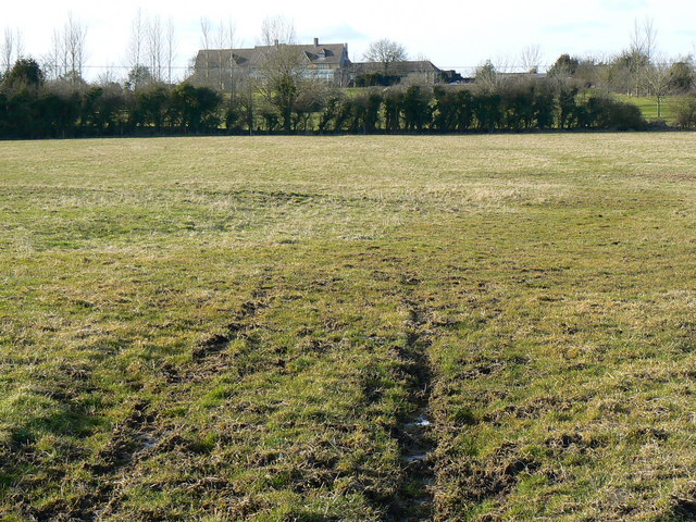
Image: © Brian Robert Marshall Taken: 2 Mar 2010
The land is probably pasture. It is presently unoccupied because the cattle that would be seen here later in the year are probably still being housed indoors. The large property on the skyline is the Cricklade Hotel and Country Club in SU0893.
Images are licensed for reuse under creativecommons.org/licenses/by-sa/2.0
Image Location
Latitude
51.634477
Longitude
-1.870492