Oxbourne Farm seen from the Darent Valley Path
Introduction
The photograph on this page of Oxbourne Farm seen from the Darent Valley Path by N Chadwick as part of the Geograph project.
The Geograph project started in 2005 with the aim of publishing, organising and preserving representative images for every square kilometre of Great Britain, Ireland and the Isle of Man.

There are currently over 7.5m images from over 14,400 individuals and you can help contribute to the project by visiting https://www.geograph.org.uk
Oxbourne Farm seen from the Darent Valley Path
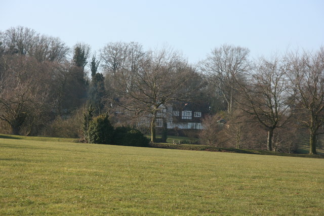
Image: © N Chadwick Taken: 17 Feb 2010
The Darent Valley Path is 19 miles (31 km) long, following the River Darent from Sevenoaks station through the Kent Downs Area of Outstanding Natural Beauty to the banks of the River Thames at Dartford. The River Darent flows from its source in the Greensand hills, south of Westerham, to join the Thames, north of Dartford. The walk is through a varied landscape of riverside fringed with ancient willows, hop gardens and cornfields, secretive woodlands, downland carpeted with wild flowers and expanses of marshland and has the added attractions of Roman remains, majestic viaducts, historic houses, old mills and picturesque villages with beautiful churches. There is an alternative start point at Chipstead (TQ500561). A description of the route is given at http://en.wikipedia.org/wiki/Darent_Valley_Path
Images are licensed for reuse under creativecommons.org/licenses/by-sa/2.0
Image Location
Latitude
51.338603
Longitude
0.179187