Near Elsick
Introduction
The photograph on this page of Near Elsick by Anne Burgess as part of the Geograph project.
The Geograph project started in 2005 with the aim of publishing, organising and preserving representative images for every square kilometre of Great Britain, Ireland and the Isle of Man.

There are currently over 7.5m images from over 14,400 individuals and you can help contribute to the project by visiting https://www.geograph.org.uk
Near Elsick
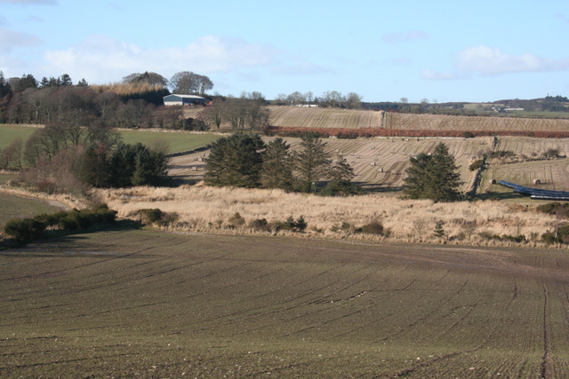
Image: © Anne Burgess Taken: 1 Mar 2010
The track from Windyedge to Cammachmore just clips the edge of this square, though I had to step over the fence to get the GPS reading in square. The buildings in the distance are at Chapelton.
Images are licensed for reuse under creativecommons.org/licenses/by-sa/2.0
Image Location
Latitude
57.041464
Longitude
-2.174334