The last of Denaby Main
Introduction
The photograph on this page of The last of Denaby Main by Alan Murray-Rust as part of the Geograph project.
The Geograph project started in 2005 with the aim of publishing, organising and preserving representative images for every square kilometre of Great Britain, Ireland and the Isle of Man.

There are currently over 7.5m images from over 14,400 individuals and you can help contribute to the project by visiting https://www.geograph.org.uk
The last of Denaby Main
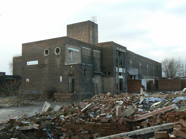
Image: © Alan Murray-Rust Taken: 10 Feb 2010
The former pit baths and canteen building is all that remains of the former colliery; it is now disused and appears to be ready for demolition.
Images are licensed for reuse under creativecommons.org/licenses/by-sa/2.0
Image Location
Latitude
53.492331
Longitude
-1.25764