Gloucestershire farmland
Introduction
The photograph on this page of Gloucestershire farmland by Michael Dibb as part of the Geograph project.
The Geograph project started in 2005 with the aim of publishing, organising and preserving representative images for every square kilometre of Great Britain, Ireland and the Isle of Man.

There are currently over 7.5m images from over 14,400 individuals and you can help contribute to the project by visiting https://www.geograph.org.uk
Gloucestershire farmland
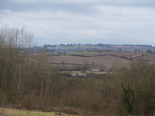
Image: © Michael Dibb Taken: 13 Feb 2010
The view from the minor road from Draycott to Aston Magna is far reaching. Ebrington Hill is seen in the distance.
Images are licensed for reuse under creativecommons.org/licenses/by-sa/2.0
Image Location
Latitude
52.030538
Longitude
-1.719948