Farmland and Heathland
Introduction
The photograph on this page of Farmland and Heathland by Tony Atkin as part of the Geograph project.
The Geograph project started in 2005 with the aim of publishing, organising and preserving representative images for every square kilometre of Great Britain, Ireland and the Isle of Man.

There are currently over 7.5m images from over 14,400 individuals and you can help contribute to the project by visiting https://www.geograph.org.uk
Farmland and Heathland
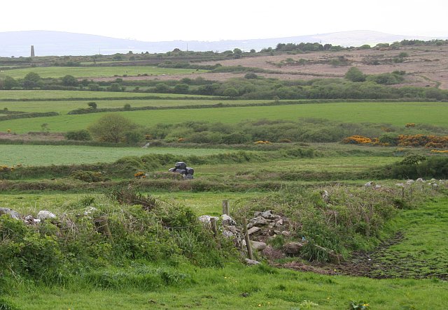
Image: © Tony Atkin Taken: 20 May 2006
The heathland in the distance at the western edge of this square marks an old mining area. Most of the rest of the square is pasture land.
Images are licensed for reuse under creativecommons.org/licenses/by-sa/2.0
Image Location
Latitude
50.154091
Longitude
-5.286949