River Hipper, Holymoorside
Introduction
The photograph on this page of River Hipper, Holymoorside by Peter Barr as part of the Geograph project.
The Geograph project started in 2005 with the aim of publishing, organising and preserving representative images for every square kilometre of Great Britain, Ireland and the Isle of Man.

There are currently over 7.5m images from over 14,400 individuals and you can help contribute to the project by visiting https://www.geograph.org.uk
River Hipper, Holymoorside
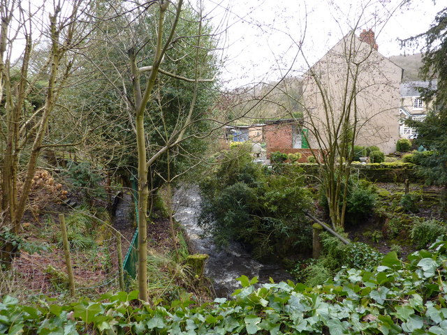
Image: © Peter Barr Taken: 28 Feb 2010
The source of this river, which will within a few miles disappear and re-appear in the suburbs and town centre of Chesterfield, is on Beeley Moor, roundabout SK3068. The infant stream up there is called Hipper Sick. see Image
Images are licensed for reuse under creativecommons.org/licenses/by-sa/2.0
Image Location
Latitude
53.215196
Longitude
-1.4968