Hopefield, Newport
Introduction
The photograph on this page of Hopefield, Newport by Jaggery as part of the Geograph project.
The Geograph project started in 2005 with the aim of publishing, organising and preserving representative images for every square kilometre of Great Britain, Ireland and the Isle of Man.

There are currently over 7.5m images from over 14,400 individuals and you can help contribute to the project by visiting https://www.geograph.org.uk
Hopefield, Newport
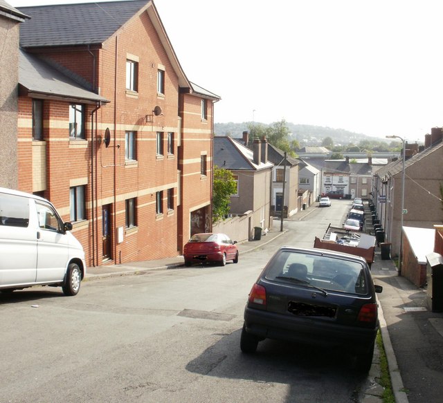
Image: © Jaggery Taken: 18 Sep 2009
Hopefield descends from Power Street towards Dos Road. The turning on the left is for Belvedere Terrace. http://www.geograph.org.uk/photo/1729409
Images are licensed for reuse under creativecommons.org/licenses/by-sa/2.0
Image Location
Latitude
51.595565
Longitude
-3.001847