Lane/footpath off Harewood Road, Holymoorside
Introduction
The photograph on this page of Lane/footpath off Harewood Road, Holymoorside by Peter Barr as part of the Geograph project.
The Geograph project started in 2005 with the aim of publishing, organising and preserving representative images for every square kilometre of Great Britain, Ireland and the Isle of Man.

There are currently over 7.5m images from over 14,400 individuals and you can help contribute to the project by visiting https://www.geograph.org.uk
Lane/footpath off Harewood Road, Holymoorside
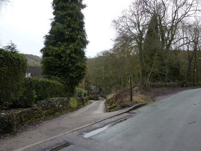
Image: © Peter Barr Taken: 28 Feb 2010
Pronounced "Holly" moorside, though its origins are in Holy Moor. It is not an ancient village, but developed like Cromford at the time of the introduction of cotton spinning and the factory system by Arkright and others
Images are licensed for reuse under creativecommons.org/licenses/by-sa/2.0
Image Location
Latitude
53.215286
Longitude
-1.496949