Track, The Brake
Introduction
The photograph on this page of Track, The Brake by Derek Harper as part of the Geograph project.
The Geograph project started in 2005 with the aim of publishing, organising and preserving representative images for every square kilometre of Great Britain, Ireland and the Isle of Man.

There are currently over 7.5m images from over 14,400 individuals and you can help contribute to the project by visiting https://www.geograph.org.uk
Track, The Brake
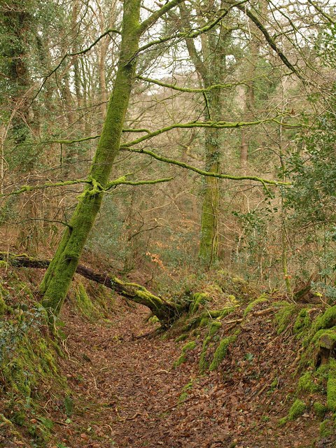
Image: © Derek Harper Taken: 25 Feb 2010
Quite surprised that this track seemed virtually unused. It drops down through woodland from Southway to a ford on the stream that eventually becomes Tamerton Lake, crossing the path shown in Image, and must have once been a significant route to Porsham and Blaxton.
Images are licensed for reuse under creativecommons.org/licenses/by-sa/2.0
Image Location
Latitude
50.433906
Longitude
-4.126138