View from Pen Y Rhiw road towards the Teifi
Introduction
The photograph on this page of View from Pen Y Rhiw road towards the Teifi by Flopsy Designs as part of the Geograph project.
The Geograph project started in 2005 with the aim of publishing, organising and preserving representative images for every square kilometre of Great Britain, Ireland and the Isle of Man.

There are currently over 7.5m images from over 14,400 individuals and you can help contribute to the project by visiting https://www.geograph.org.uk
View from Pen Y Rhiw road towards the Teifi
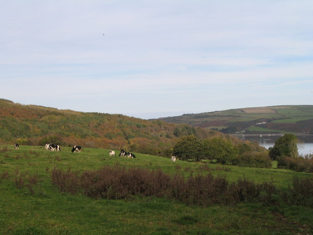
Image: © Flopsy Designs Taken: 26 Oct 2009
This was taken just past the Welcome to St Dogmaels sign at the top of the village leaving St Dogmaels.
Images are licensed for reuse under creativecommons.org/licenses/by-sa/2.0
Image Location
Latitude
52.084048
Longitude
-4.687636