Turlin Moor Recreation Ground
Introduction
The photograph on this page of Turlin Moor Recreation Ground by Mike Faherty as part of the Geograph project.
The Geograph project started in 2005 with the aim of publishing, organising and preserving representative images for every square kilometre of Great Britain, Ireland and the Isle of Man.

There are currently over 7.5m images from over 14,400 individuals and you can help contribute to the project by visiting https://www.geograph.org.uk
Turlin Moor Recreation Ground
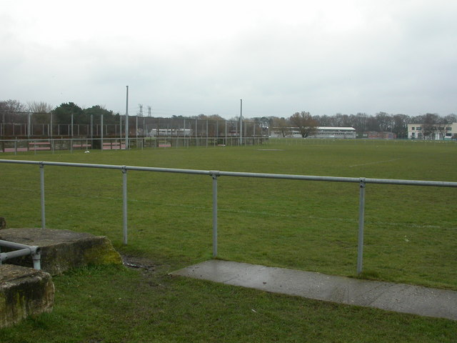
Image: © Mike Faherty Taken: 28 Feb 2010
Off Blandford Road, with modern buildings visible in the distance. To the left, hard pitch, to the right, grass pitch. http://www.boroughofpoole.com/facilities/ref:F465e9bc75c084/
Images are licensed for reuse under creativecommons.org/licenses/by-sa/2.0
Image Location
Latitude
50.728247
Longitude
-2.023467